New River Gorge National Park
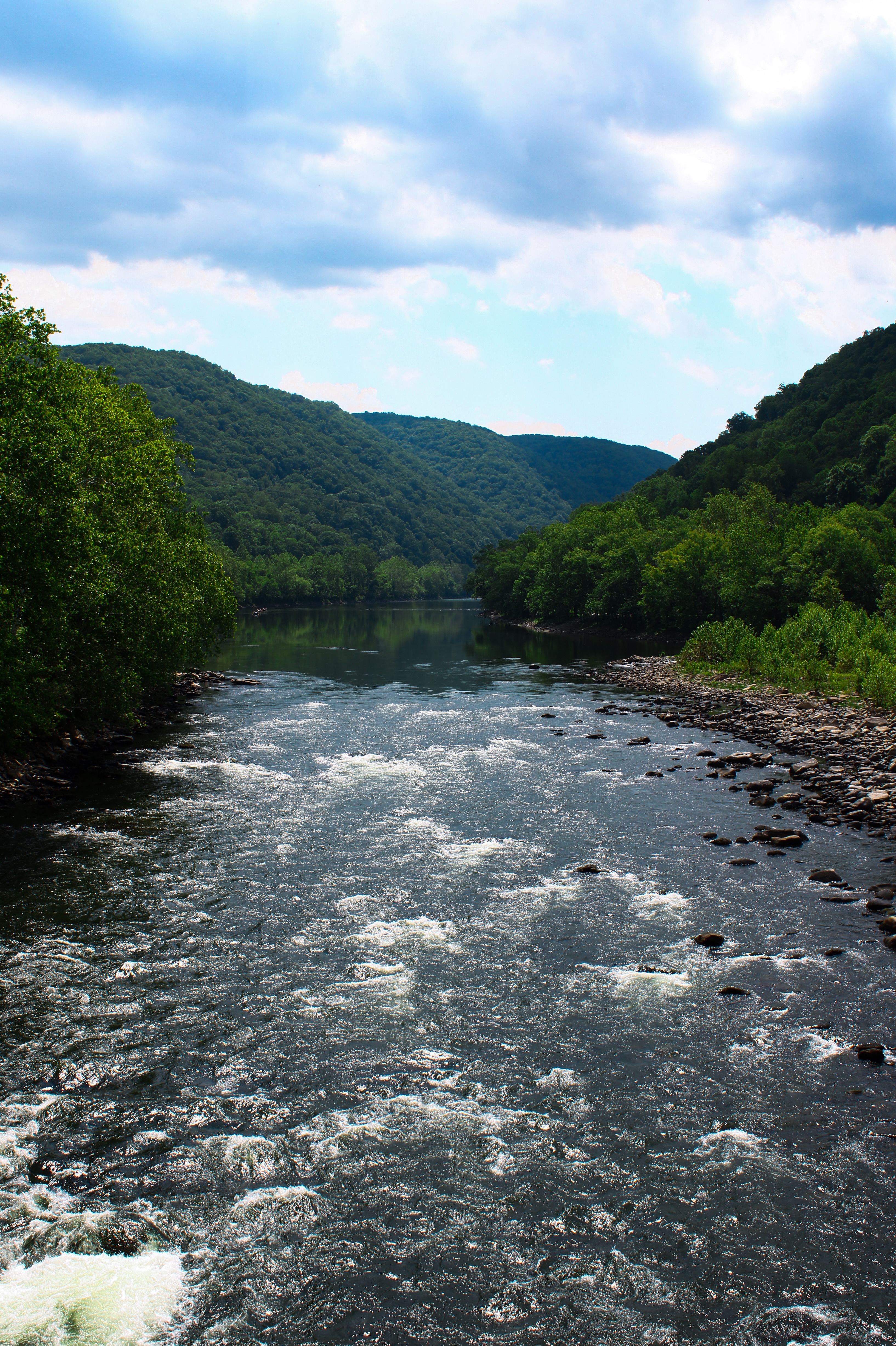
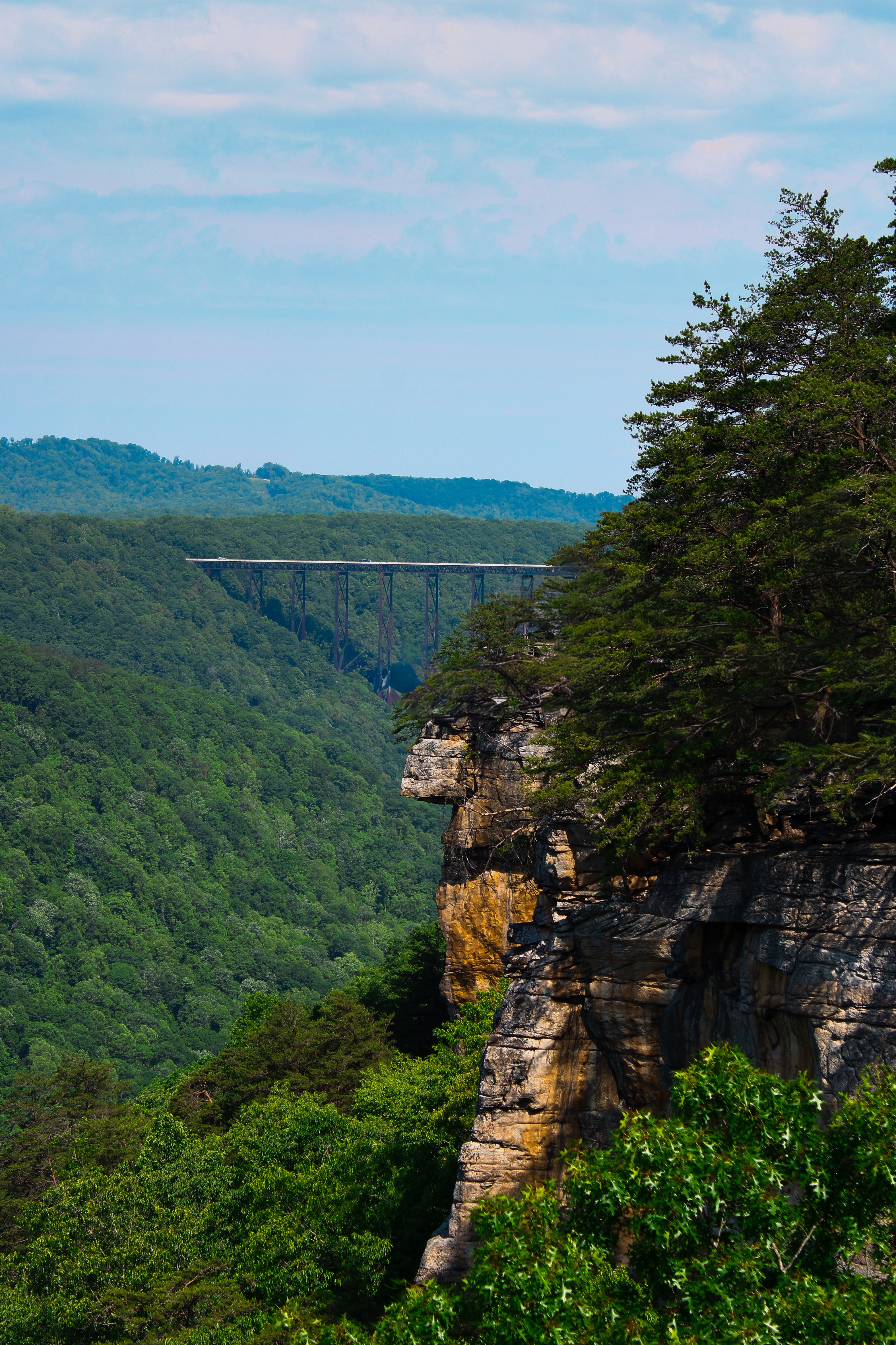
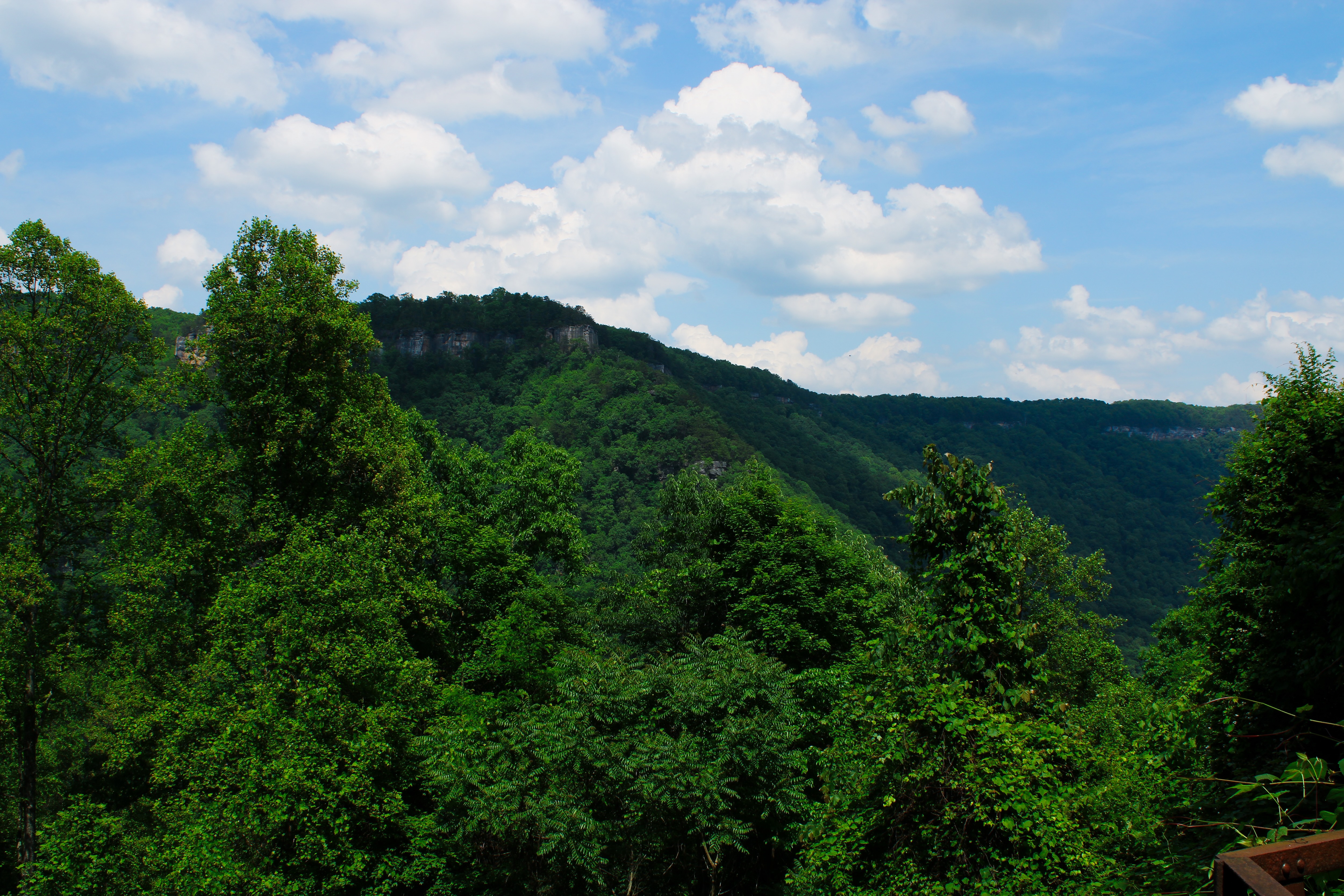
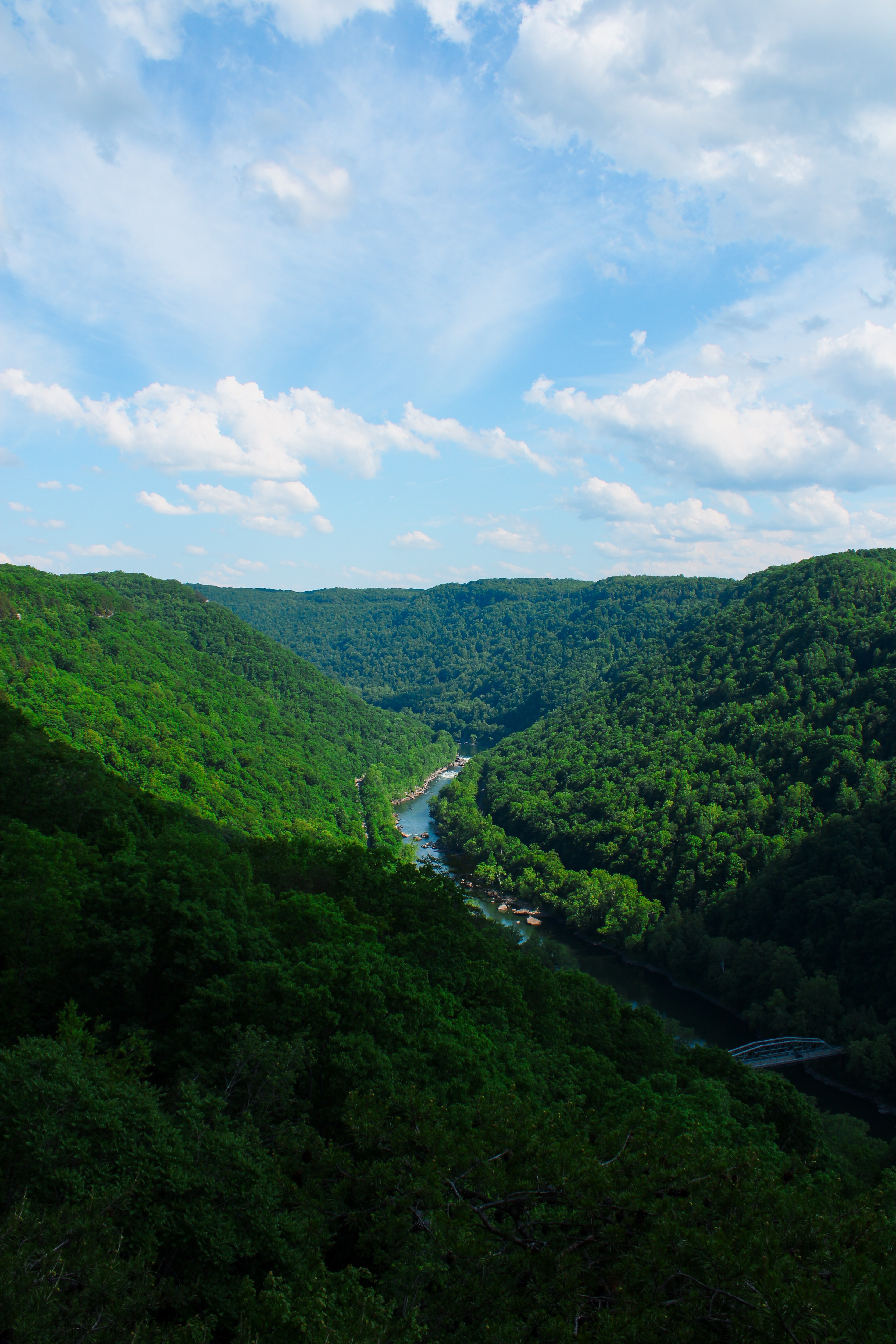
At the center of New River Gorge National Park and Preserve is the New River, one of the oldest rivers in the world despite its name. As the Appalachian Mountains slowly rose over millions of years, the river cut directly through the rock, carving the steep canyon that defines the gorge today. In some places, the gorge reaches depths of nearly 1,600 feet, exposing layers of sandstone, shale, and coal-bearing rock along its walls. The river also flows unusually from south to north before eventually joining the Kanawha River.
Long before coal towns and railroads arrived, Indigenous groups including the Shawnee and Cherokee used the river and surrounding forests for hunting, travel, and trade. Archaeological discoveries such as stone tools and artifacts show that people lived in and traveled through the region for thousands of years. Although few permanent settlements existed within the gorge itself, seasonal camps and hunting grounds were common throughout the surrounding mountains.
European settlers gradually moved into the region during the eighteenth and early nineteenth centuries, forming isolated farming and logging communities along the river. For much of its early history, the gorge was difficult to access because of its steep terrain. That seclusion ended in the late nineteenth century when valuable coal deposits transformed the gorge into an industrial center.
By the late 1800s, New River Gorge had become one of the most important coal-producing regions in Appalachia. Massive seams of bituminous coal were exposed naturally by erosion, making the area especially enticing to mining companies. The arrival of the Chesapeake and Ohio Railway in the 1870s transformed the gorge overnight. Rail lines connected the isolated mountains to industrial cities across the eastern United States, and coal towns rapidly appeared throughout the canyon.
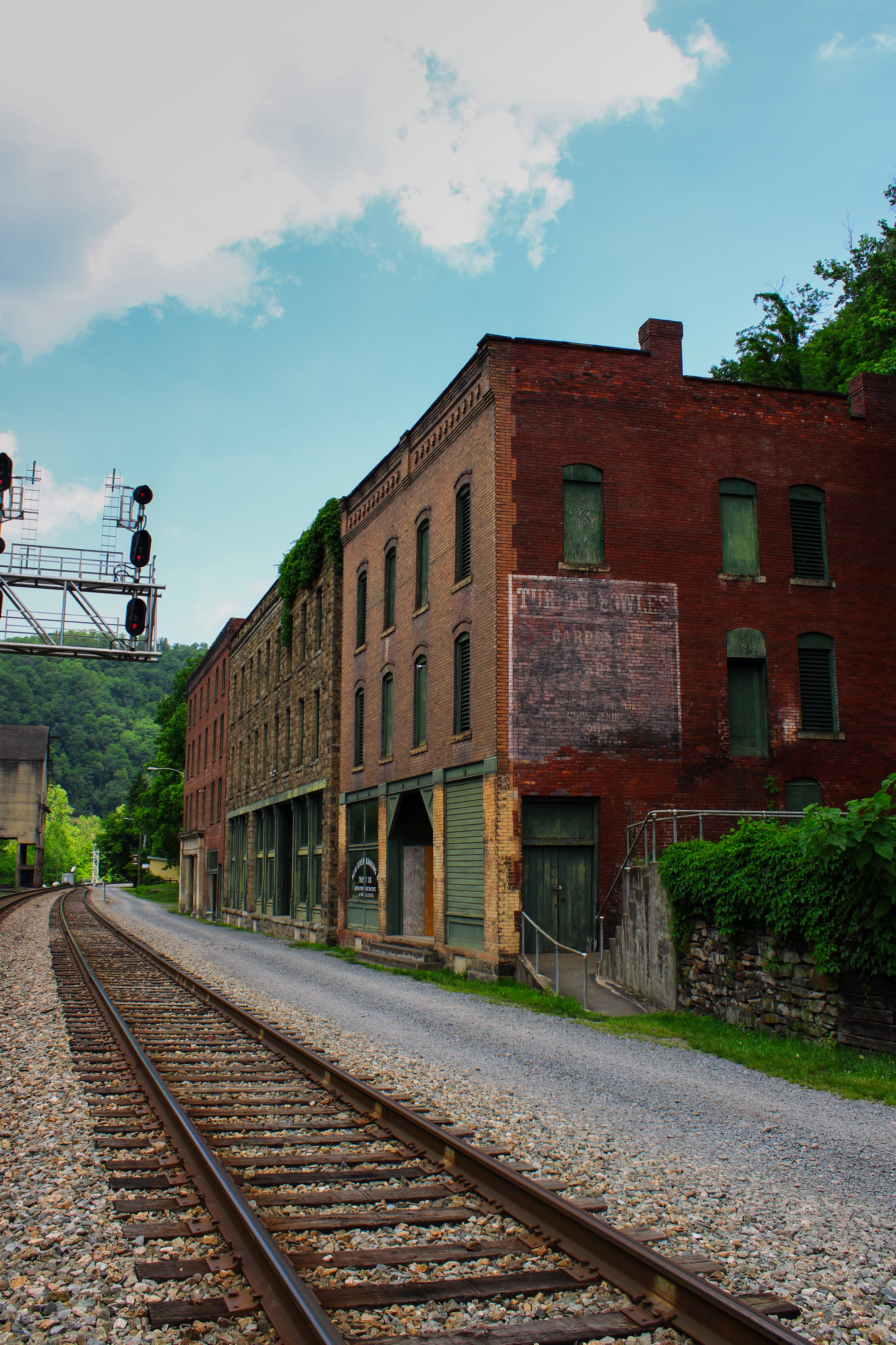
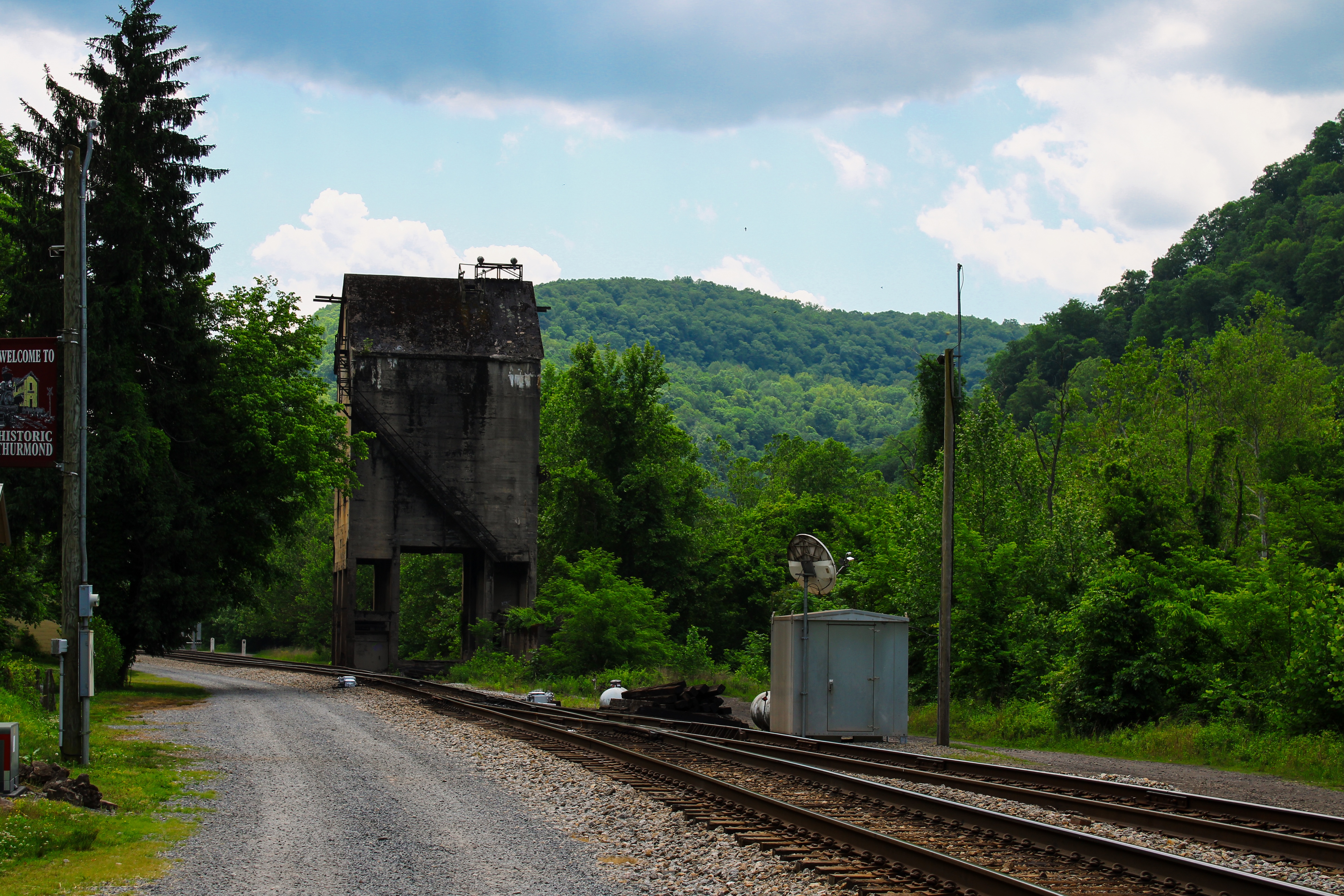
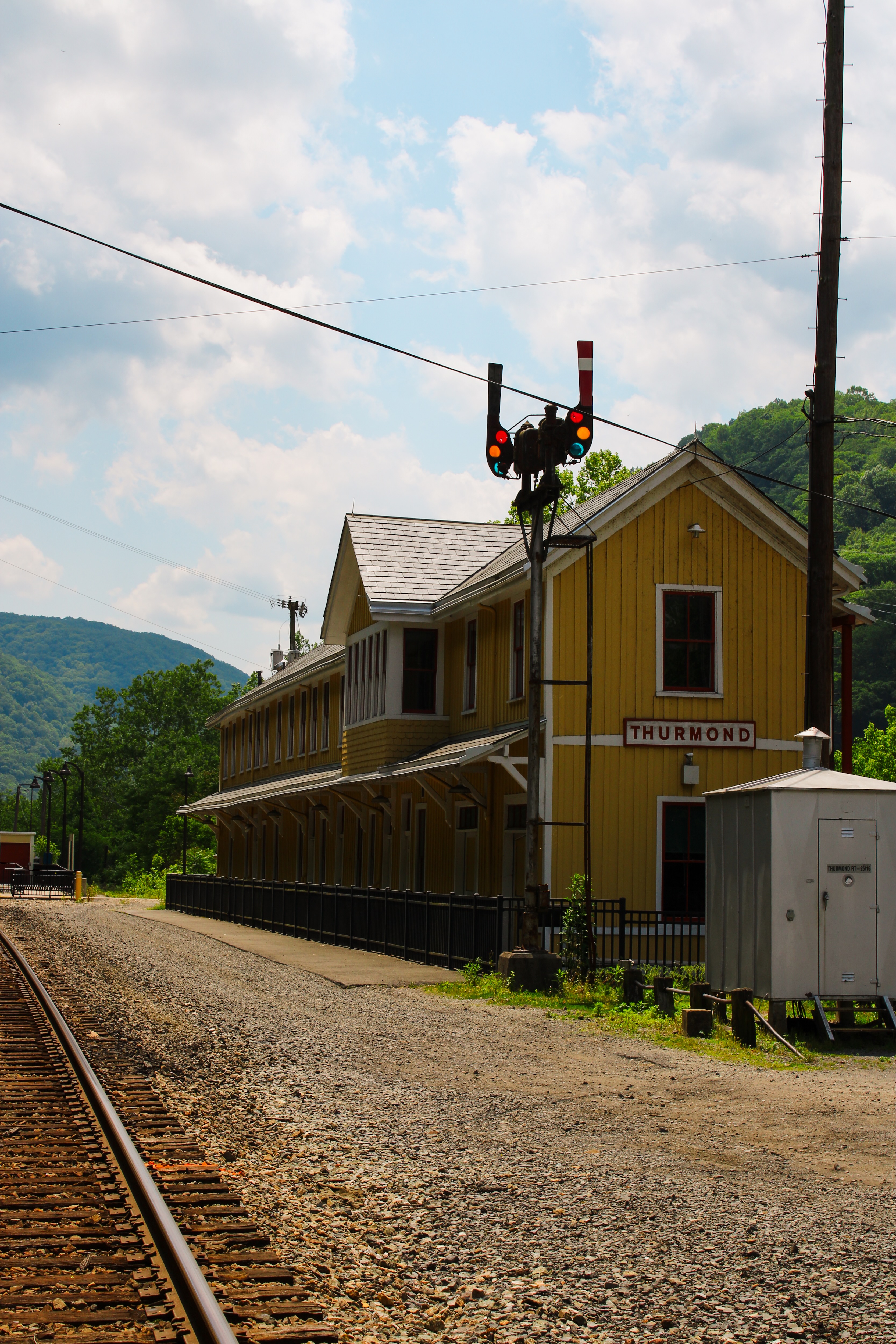
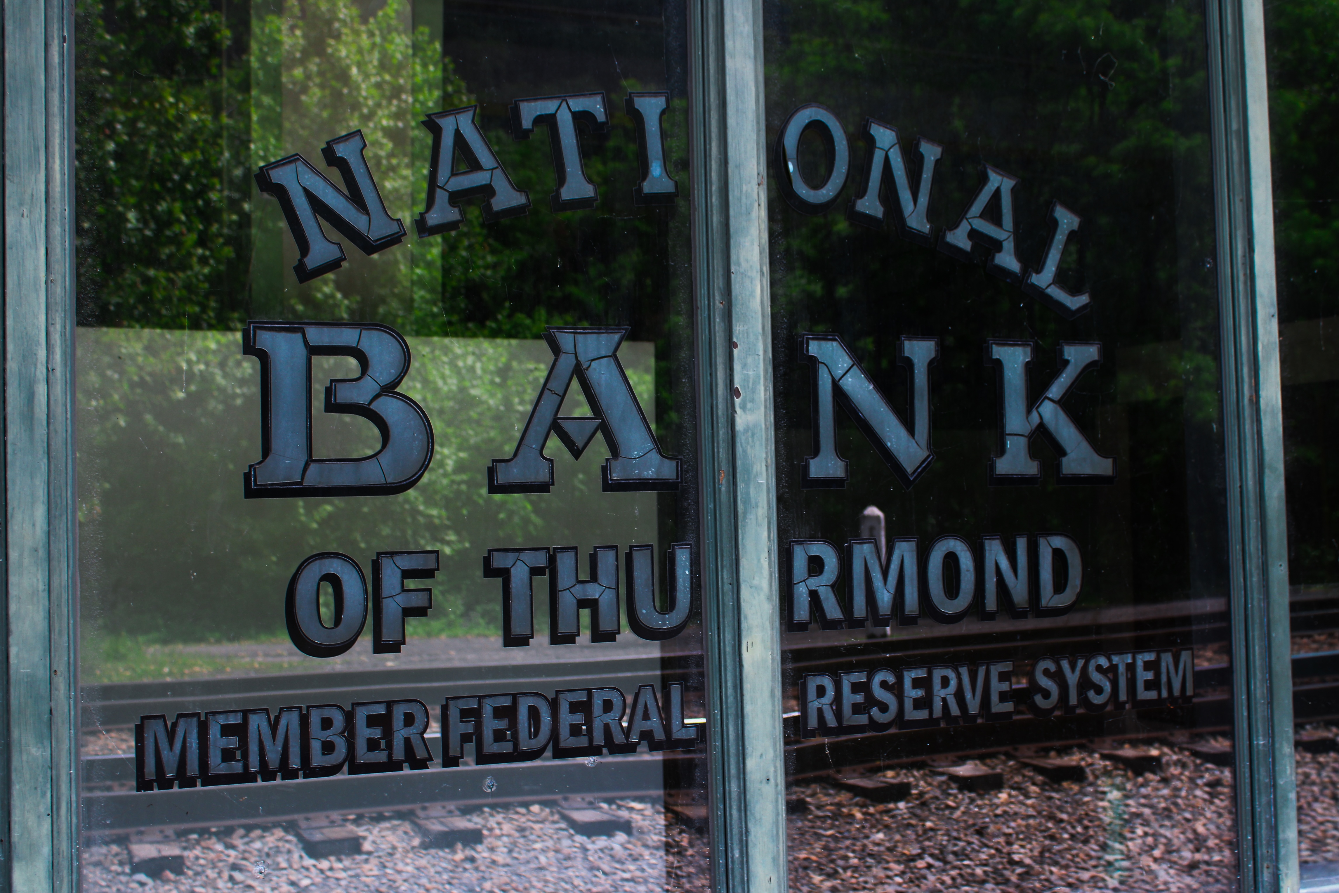
Communities such as Thurmond, Kaymoor, and Nuttallburg became centers of mining activity during the coal boom. Thurmond developed into a major railroad hub along the Chesapeake and Ohio Railway and was once one of the busiest towns in West Virginia despite its small size. Trains constantly moved through the narrow valley carrying coal out of the gorge, and many of the town’s historic buildings still stand today.

Thurmond Historic District Train Station
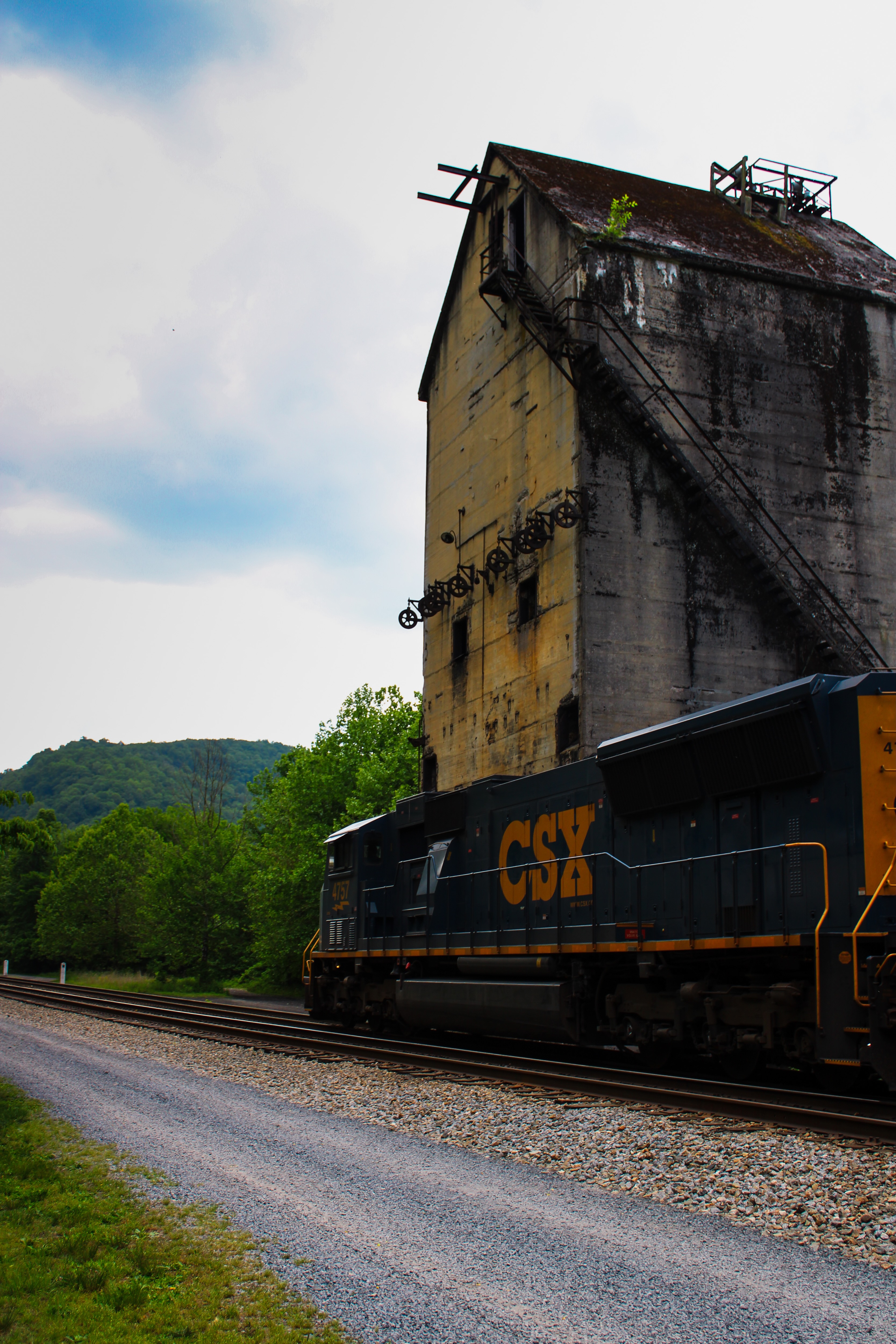
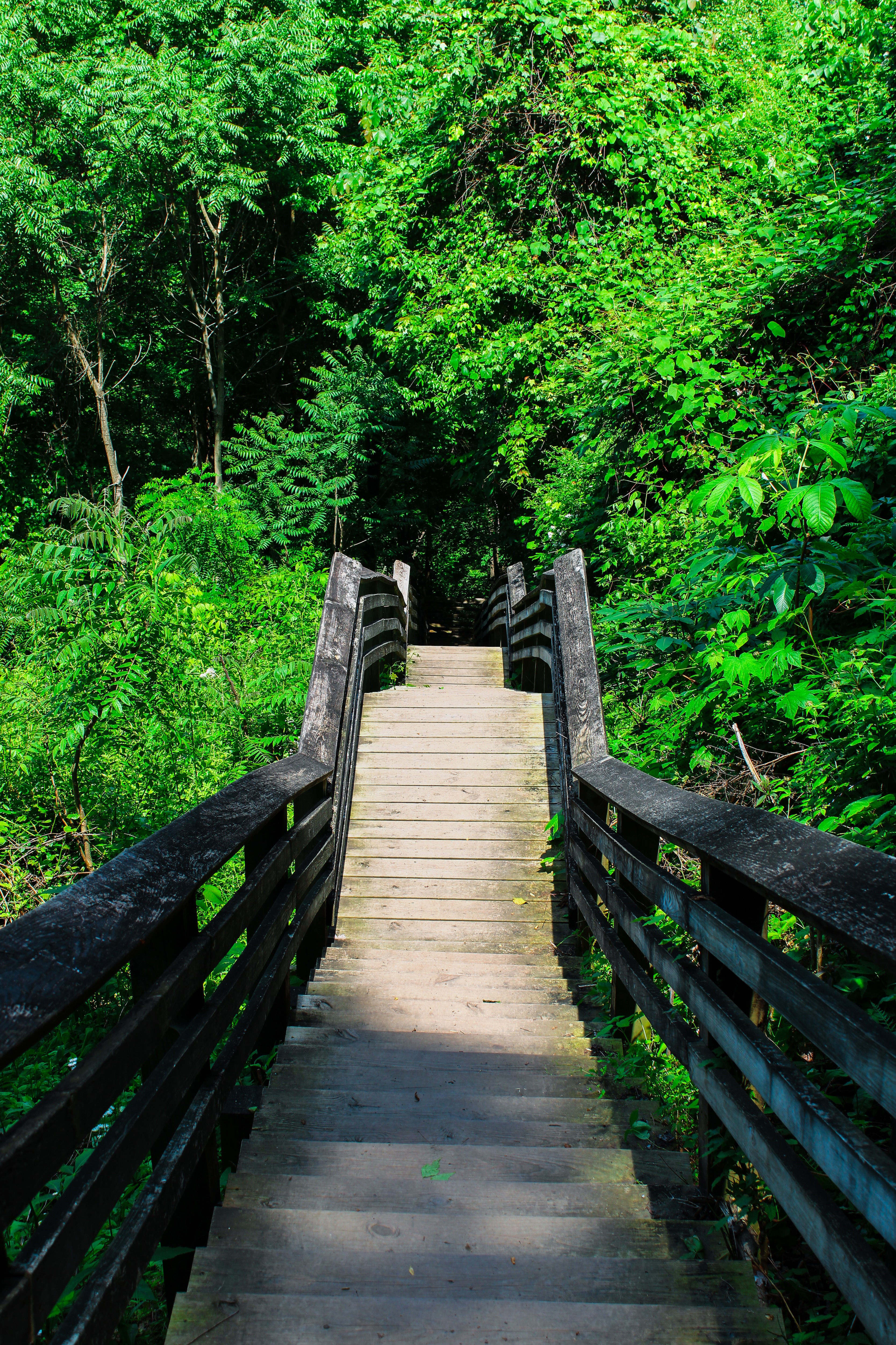
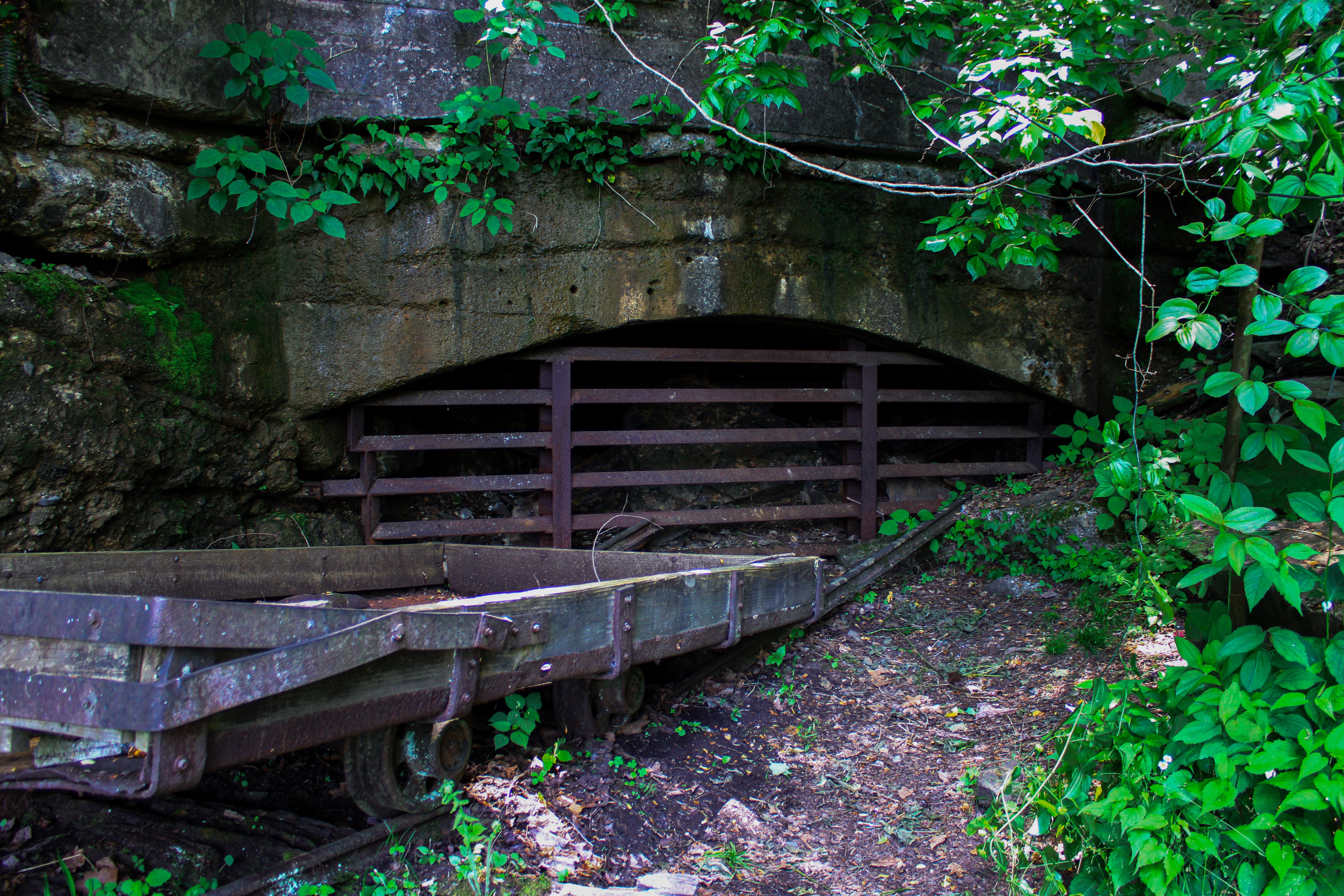
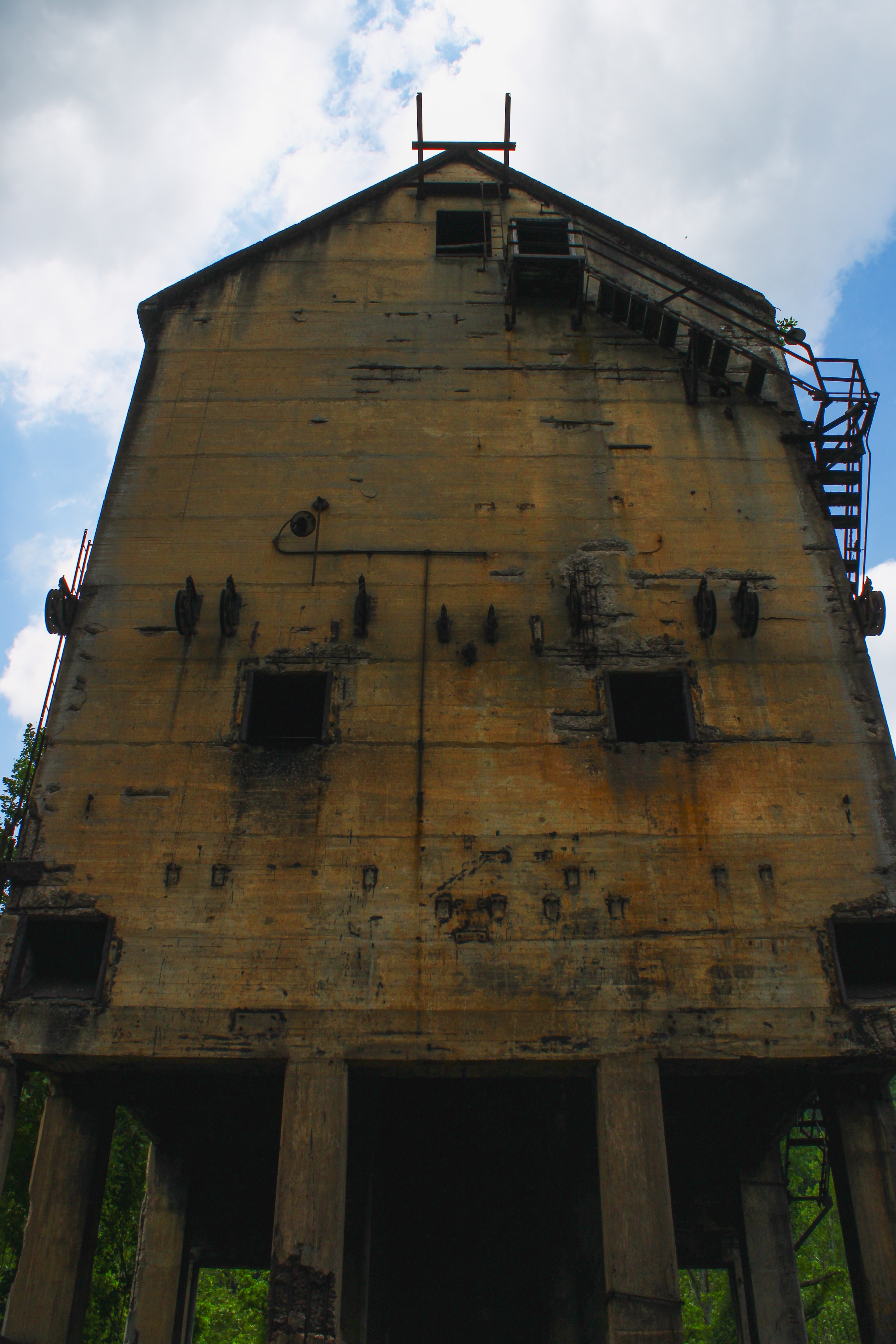
Other mining communities were built directly into the steep canyon walls. Kaymoor became one of the most productive coal operations in the gorge and is now famous for the long staircase trail leading down to the abandoned mine structures. The ruins of conveyor systems, rail equipment, and processing buildings scattered throughout the site help show the arduous working conditions common for miners.
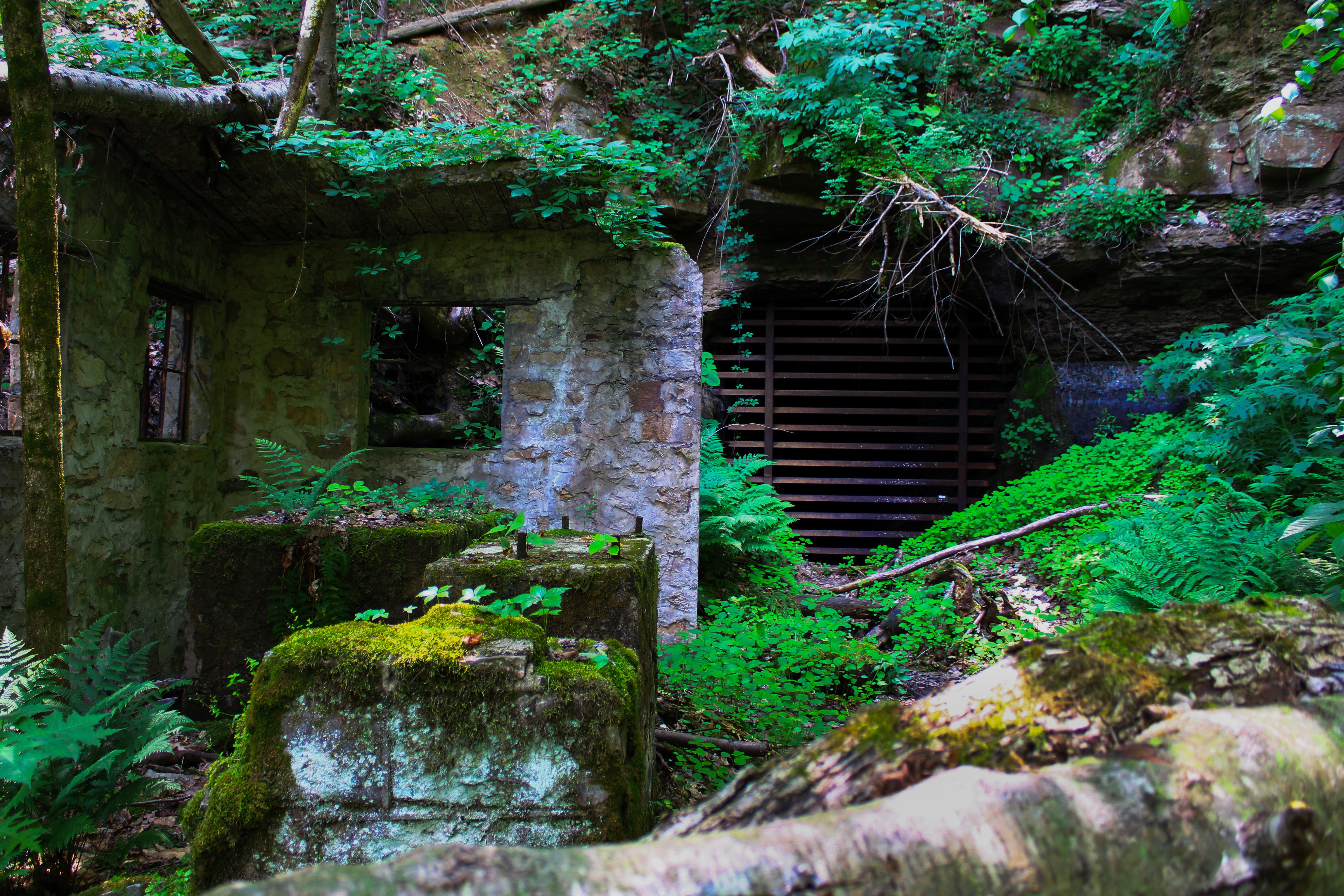
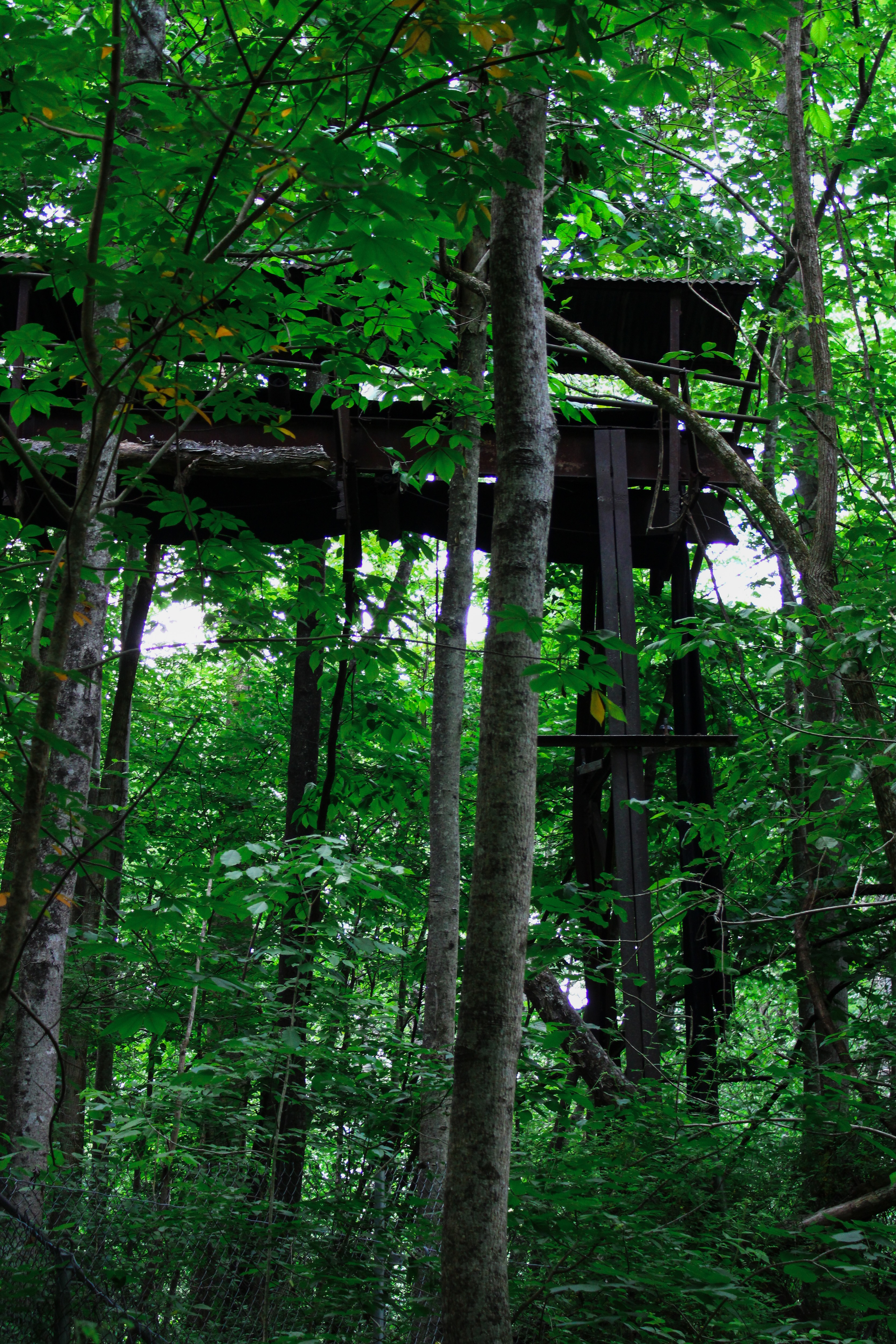
Nuttallburg remains one of the best-preserved coal mining complexes in Appalachia. The site still contains coke ovens, conveyor systems, tipples, and other infrastructure from the early twentieth century. The region reveals how entire industries once existed deep within the gorge before being abandoned and eventually reclaimed by the forest over time.
Life in the coal camps was often extremely difficult. Miners worked long hours in dangerous conditions while facing risks such as explosions, collapses, and black lung disease. Many workers depended on coal companies for housing, stores, and wages, tying entire communities to the mines. At the same time, the coal industry brought together immigrants from Europe, African American workers, and Appalachian families, creating unusually diverse communities throughout the gorge during the late nineteenth and early twentieth centuries.
By the mid-twentieth century, mechanization reduced the need for large mining workforces, and many towns throughout the gorge declined or were abandoned entirely. Forests gradually overtook former rail lines, homes, and industrial sites, leaving behind scattered remnants of the region’s industrial past.
The area was officially protected in 1978 as New River Gorge National River in order to preserve both its natural landscape and its historic sites. In 2020, Congress redesignated the area as New River Gorge National Park and Preserve, making it the newest national park in the United States. Today, the park protects more than 70,000 acres of forests, wildlife habitats, whitewater ecosystems, railroad history, and abandoned mining communities.
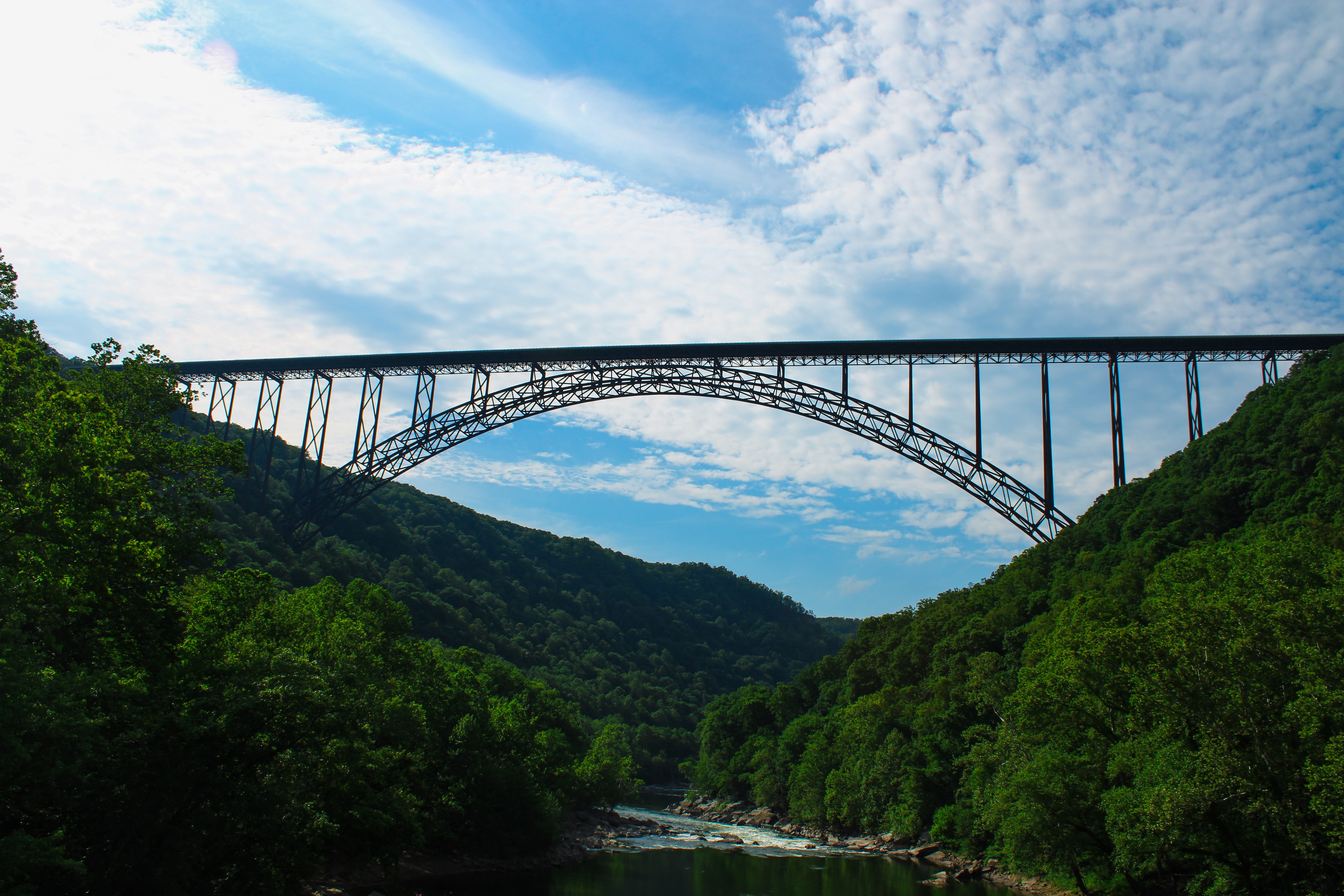
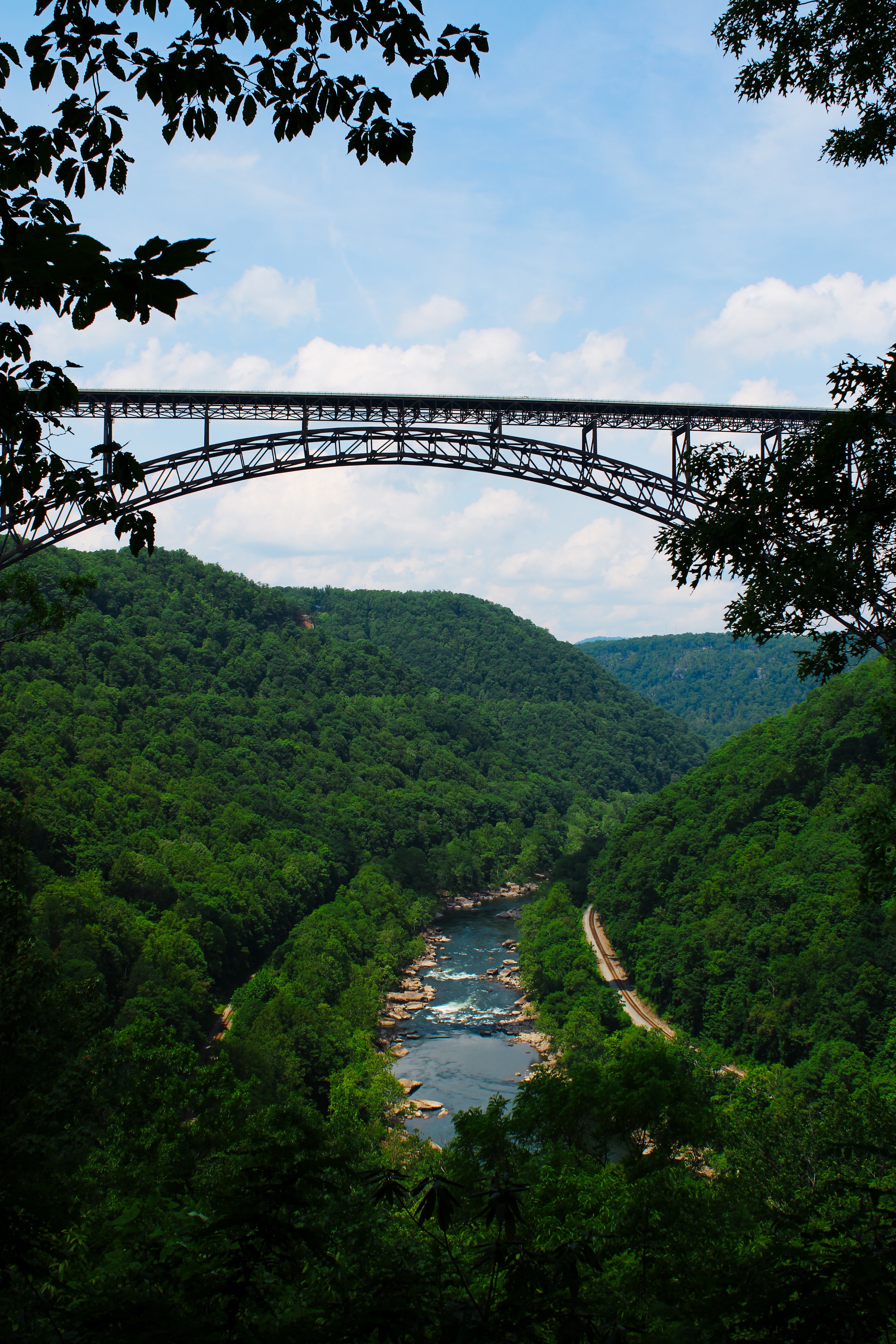
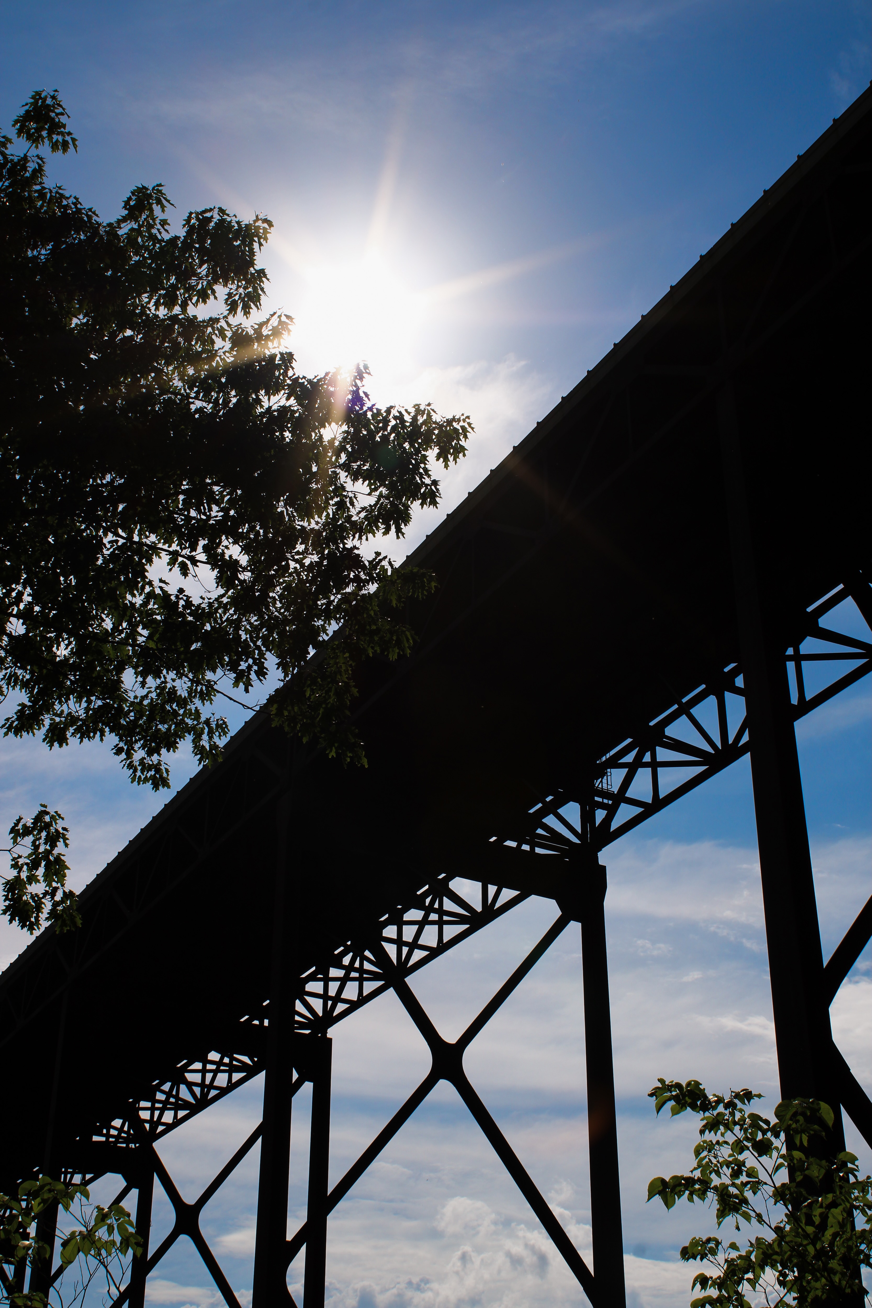
One of the park’s most recognizable landmarks is the New River Gorge Bridge, completed in 1977. Before the bridge was built, crossing the gorge required a long and dangerous drive down narrow mountain roads and back up the opposite side. At the time of its construction, the bridge was one of the largest steel arch bridges in the world and quickly became a symbol of the region.
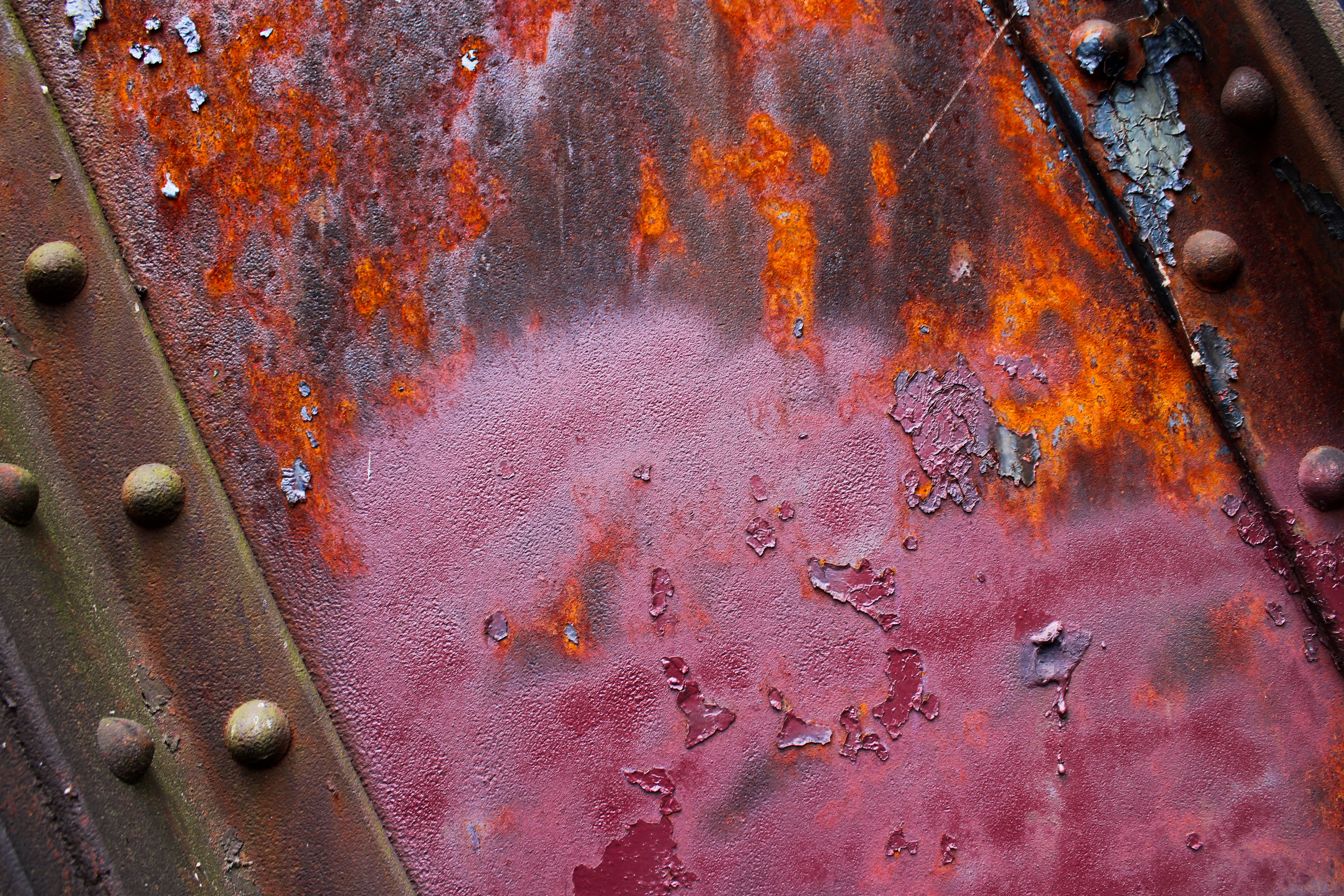
Today, visitors encounter a landscape where natural beauty and industrial history are intertwined with one another. Dense forests, raging rivers, steel bridges, rusty railroads, and abandoned mining sites throughout the gorge tell the story of how business shaped the region before nature slowly took it back.
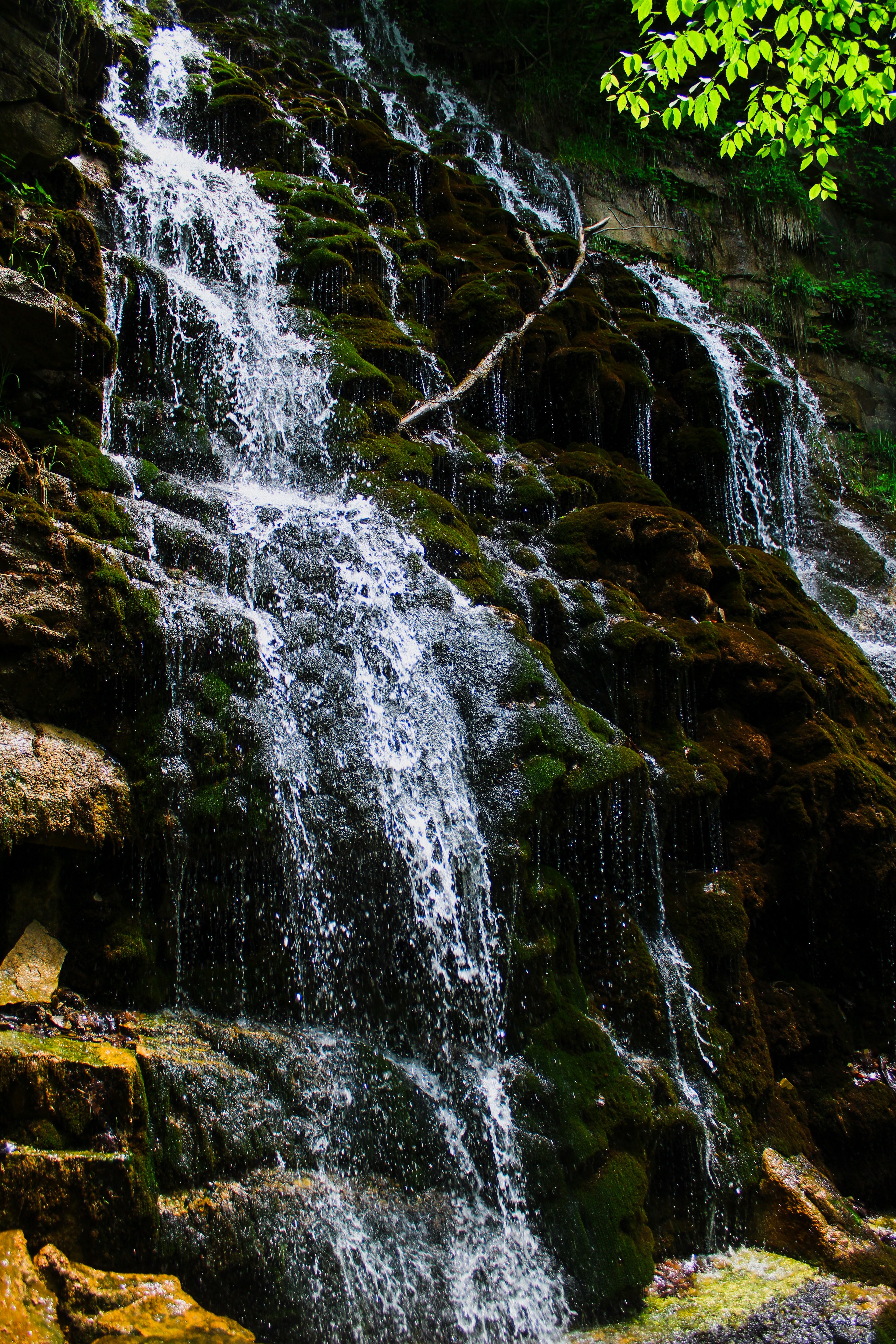
When I visited the park, I focused my photography on the relationship between the gorge’s beautiful landscapes and its industrial past. Throughout the park, trees, wildlife, and water systems exist side by side with abandoned structures and old bridges, creating a unique atmospheric blend of nature and history. Through my compositions and editing, I wanted to capture the age and depth of the park, using darker and more rustic editing styles in my photos.
Click on each image to see the full sized version!